


Services
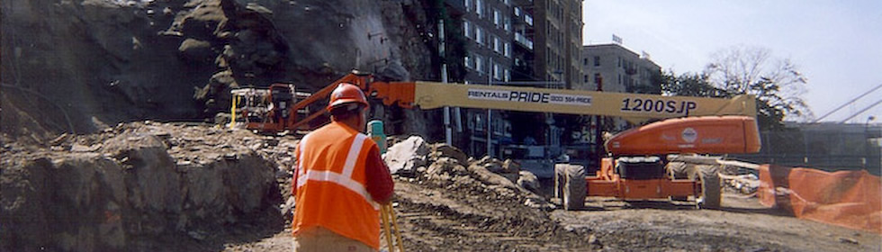
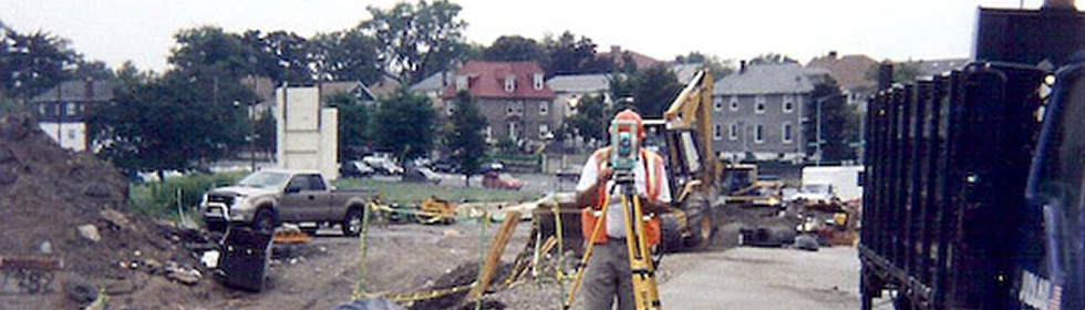
Construction Survey – Using surveying techniques to stake out reference points and markers that will guide the construction of new structures such as highways, roads, retaining walls, utilities, buildings, etc. These markers are usually staked out according to a suitable coordinate system selected for the project. This includes horizontal and vertical grading and final as-built surveys
Topographic & Utility Survey - determining the relative locations of points (places) on the earth's surface by measuring horizontal distances, differences in elevation and directions. Including ROW & Acquisition Mapping.
Architectural Survey – Comprehensive survey involves recording all historic and non-historic resources in a geographical area. This type of survey is primarily used for local planning purposes and to document historic districts
Property Line Determination – Using the latest in technology, DDC will determine the property lines of a parcel of land described in a deed. This type of survey will also indicate the extent of any easements or encroachments and may show the limitations imposed on the property by state or local regulations. The information collected will show the following: Metes and bounds, Interior angles and distances, Parallel reference to street lines or other lines of record, Angular reference to street lines or other lines of record, Public Record Coordinate Systems, Reference to record corner / street intersections.
GPS – We use portable receiving antennas to gather data transmitted from satellites which are used to calculation the position of the object being located on the surface of the earth. GPS surveys are used to establish coordinate control points for the State Plane Coordinate Systems, large boundary surveys, and subdivision surveys. It can also be used to collect data for GIS/LIS for the locations of streets, homes, businesses, electric, phone and gas utilities, water sewer systems, property lines, etc. This data is used in future planning, preservation and development.