


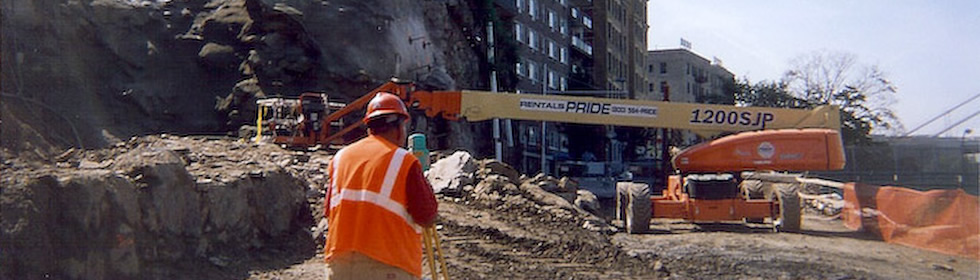
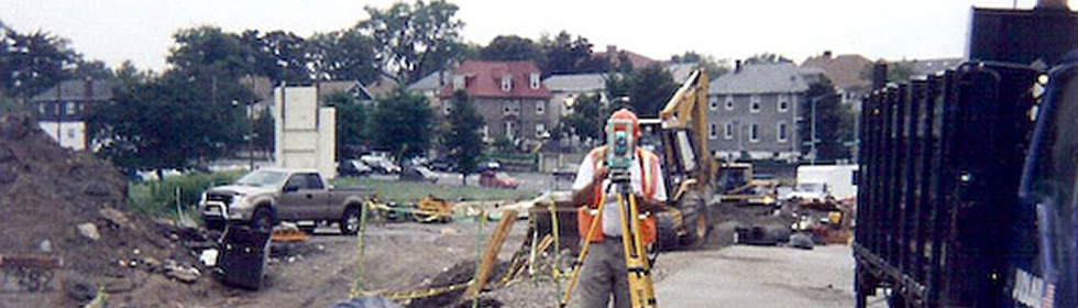


Services - GPS
GPS – We use portable receiving antennas to gather data transmitted from satellites which are used to calculation the position of the object being located on the surface of the earth. GPS surveys are used to establish coordinate control points for the State Plane Coordinate Systems, large boundary surveys, and subdivision surveys. It can also be used to collect data for GIS/LIS for the locations of streets, homes, businesses, electric, phone and gas utilities, water sewer systems, property lines, etc. This data is used in future planning, preservation and development.